Case Studies

Case Studies

Elevating Agriculture Through Aerial Imagery: A Subscription Model Success Story

About

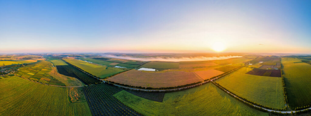
Our client is a prominent player in the field of image delivery services, specializing in providing aerial imagery through a subscription model to the agriculture sector. They have pioneered an innovative approach that empowers farms to optimize productivity and increase revenue by harnessing cutting-edge technology.

Elevating Agriculture Through Aerial Imagery

Challenges

In serving farmers with crucial imagery to enhance their understanding of land, soil, and other vital factors, the client faced several significant challenges, including the following:
Precision Imperative

Precision Imperative

Given the agricultural context, precision was of paramount importance. The slightest discrepancies in image analysis could render the entire process futile.
Minute Detail Focus

Minute Detail Focus

Our client’s expectation was that we could pinpoint even the tiniest details, as these often held crucial significance for farmers in making informed decisions.
Swift and Accurate Processing

Swift and Accurate Processing

With a growing demand for their services and a need for rapid and accurate image processing, our client required a solution that ensured timely delivery without compromising on quality.
Technoheight

Technoheight

Solution

To address these challenges, we implemented a structured image analysis and quality assurance framework focused on precision, scalability, and operational efficiency, the key components of which are as follows:

Specialized Training

Our team underwent specialized training to meticulously analyze farms in alignment with the client’s precise instructions. This training emphasized the significance of minute details and the need for precision.

Utmost Care and Precision

Recognizing the critical nature of the analysis, our team exercised the highest level of care and precision throughout the image analysis process. This included rigorous quality checks and validation measures.

Round-the-Clock Coverage

Understanding the client’s growth trajectory and the demand for swift and accurate image processing, we established a 24-hour coverage model. This ensured that the client’s needs were consistently met, regardless of time constraints.

Agri Tech
THE RESULT

THE RESULT

Business Impact

Improved Farm Productivity

Precision imagery analysis delivered actionable insights to farmers, enabling data-driven decisions that directly contributed to optimized crop yields and resource utilization.

Scalable Service Delivery

The 24-hour coverage model allowed the client to confidently scale their subscriber base without sacrificing turnaround time or quality.

Stronger Subscriber Retention

Consistent accuracy and reliability in image processing increased farmer confidence in the platform, resulting in higher subscription renewal rates.

Competitive Differentiation

High-precision analysis capabilities positioned the client as the go-to aerial imagery solution in the agriculture sector.

Scroll to Top